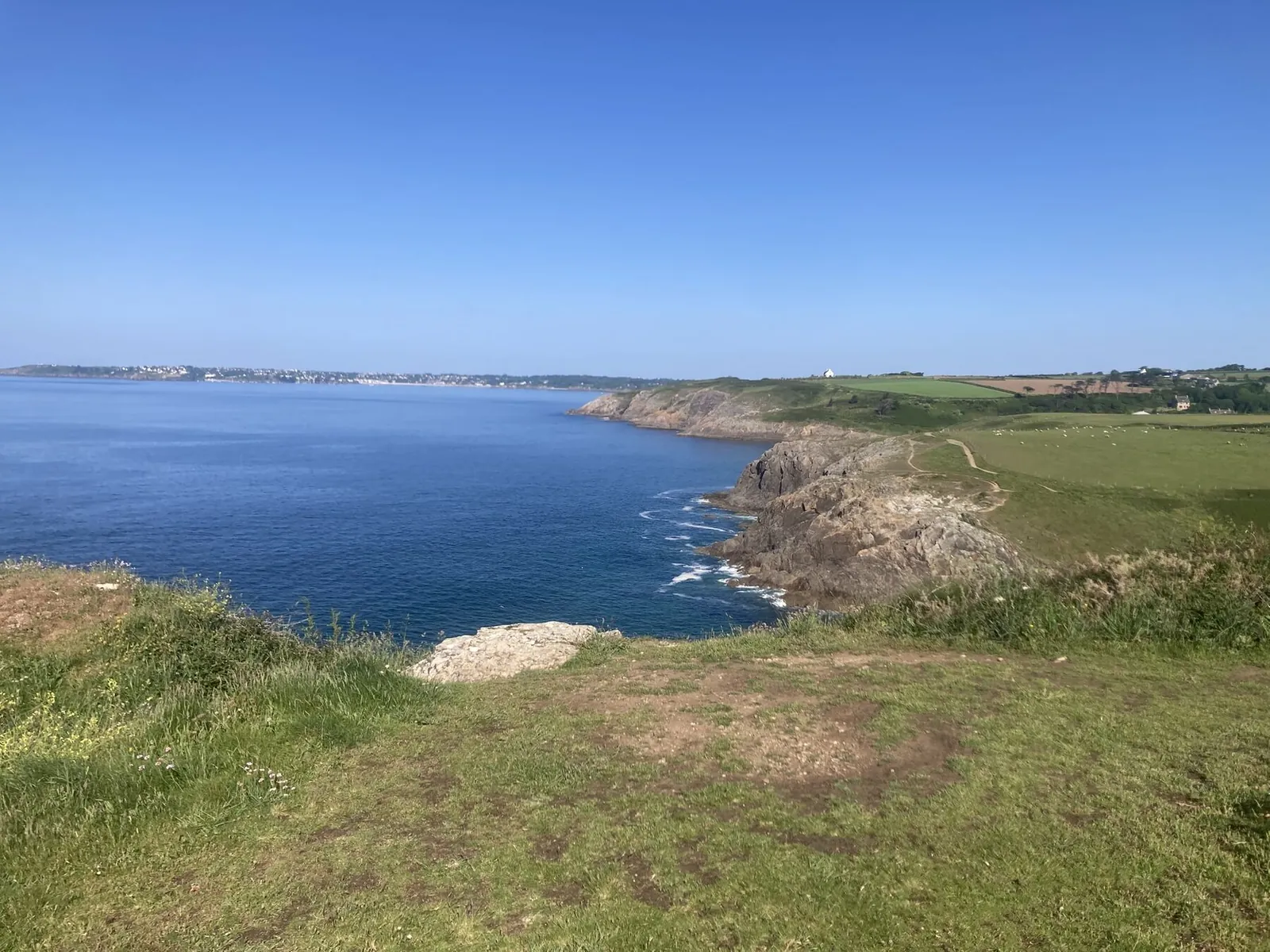
The Locmaria-Plouzané cycling club’s loops, with the link from the house (3.4 km of quiet lanes to the village, where the club starts). A short ride put together for the occasion opens the list. Quiet lanes, little traffic, westerly wind.
Road cycling · no. 1
Le Conquet and Pointe Saint-Mathieu
- Distance
- 27.9 km
- Ascent
- +220 m
- Time
- 1h15–1h45
- Difficulty
- Easy
- Loop from the house
The short ride, put together for this page: the coast road via Portez and Trez-Hir, Lochrist, then Le Conquet and its harbour, before following the south coast to Pointe Saint-Mathieu. Back by the Route de Saint-Mathieu, Plougonvelin, Keledern and Porsmilin. Two easy hours, ideal as a first ride.
0 kmAltitude 7–60 m27.9 km
Road cycling · no. 2
Saint-Renan, Le Conquet and Saint-Mathieu
- Distance
- 56.2 km
- Ascent
- +436 m
- Time
- 2h30–3h30
- Difficulty
- Moderate
- Loop from the house
The club loop: Plouzané, then Saint-Renan, the little market town of the Iroise, Plouarzel, Ploumoguer and Trébabu before Le Conquet. Pointe Saint-Mathieu, then back via Plougonvelin and the Trez-Hir coast road. The best scenery per kilometre in the selection.
0 kmAltitude 8–117 m56.2 km
Road cycling · no. 3
Corsen, Plouarzel and Saint-Renan
- Distance
- 60.7 km
- Ascent
- +585 m
- Time
- 2h45–4h
- Difficulty
- Moderate
- Loop from the house
Trez-Hir, Le Conquet, Ploumoguer, then Trézien and the Pointe de Corsen, the westernmost point of mainland France. Back via Plouarzel, Saint-Renan and Plouzané, then the corniche road above the Brest narrows. The hilliest of the rides under 70 km.
0 kmAltitude 7–133 m60.7 km
Road cycling · no. 4
The Aber Ildut, Porspoder and Argenton
- Distance
- 77.7 km
- Ascent
- +595 m
- Time
- 3h30–4h45
- Difficulty
- Hard
- Loop from the house
Heading north: Ploumoguer, Trézien, Lampaul-Plouarzel, the Aber Ildut and Lanildut, Europe’s largest seaweed-harvesting port, then Porspoder and Argenton and their rocky coast. Back via Landunvez, Plourin, Lanrivoaré and Saint-Renan.
0 kmAltitude 4–103 m77.7 km
Road cycling · no. 5
Ploudalmézeau, Le Conquet and Saint-Mathieu
- Distance
- 82.5 km
- Ascent
- +635 m
- Time
- 3h45–5h15
- Difficulty
- Hard
- Loop from the house
The big loop: inland to Guilers, Bohars and Coat-Méal, Plouguin, Ploudalmézeau, then Plourin, Brélès, Plouarzel and Ploumoguer before meeting the sea again at Le Conquet and Pointe Saint-Mathieu. Back along the Plougonvelin coast.
0 kmAltitude 7–94 m82.5 km
Road cycling · no. 6
Meneham and the Côte des Légendes
- Distance
- 104.0 km
- Ascent
- +698 m
- Time
- 4h45–6h15
- Difficulty
- Very hard
- Loop from the house
North-east: Milizac, Bourg-Blanc, Plouvien, then Kerlouan and the village of Meneham, a hamlet of thatched cottages tucked between the rocks. Back via Guissény, Plouguerneau, Lannilis, Tréglonou and Saint-Renan. A full day; expect a headwind on the way home.
0 kmAltitude 1–95 m104.0 km
Road cycling · no. 7
The Aber Wrac’h
- Distance
- 108.1 km
- Ascent
- +860 m
- Time
- 5h–6h45
- Difficulty
- Very hard
- Loop from the house
The abers: via Milizac, Bourg-Blanc and Plouvien to Plouguerneau, Landéda and the harbour of the Aber Wrac’h, then back via Lannilis, Tréglonou, Plouguin, Lanrivoaré and Saint-Renan. The longest ride in the selection.
0 kmAltitude 1–100 m108.1 km